

Adding USGS WMS Base Layers to QGIS
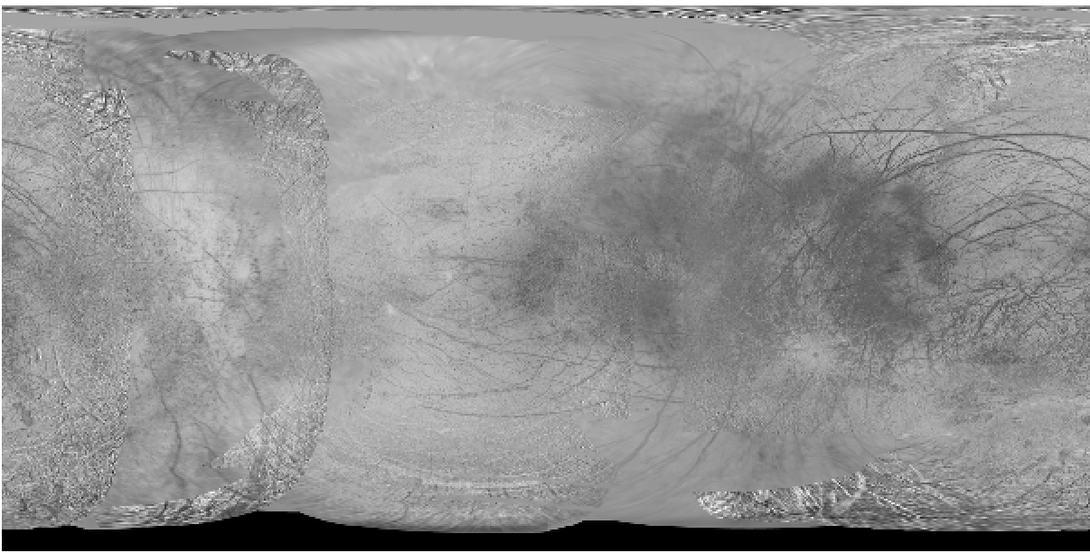
The USGS provided Europa Global Mosaic, loaded as a WMS.
This is an in progress draft example. Please feel free to test, but use with caution!
In this tutorial, you will learn how to:
- Add a connection to the USGS Europa WMS server
- add the Europa Global Mosaic WMS base layer to a QGIS project
This tutorial demonstrates how to connect the the USGS Astrogeology hosted Web Mapping Standard (WMS) server and stream a base layer into QGIS.
This tutorial requires that you have the following tools installed on your computer:
| Software Library or Application | Version Used |
|---|---|
| QGIS | 3.30.1 |
The table below lists URLs for WMS layers for bodies that have analysis ready data available. For a complete listing see here
To add a custom projection QGIS:
- In the data source Browser (left side of the QGIS interface, above the Table of Contents) right click the WMS/WMTS section and select New Connection…
- Name the connection USGS Europa
- Paste the URL from above for the Europa WMS.
- Click Ok
A GIF demonstrating creating a new WMS connection.
To add the WMS to the project:
- In the data source Browser expand the WMS/WMTS section and locate the USGS Europa connection added above.
- Expand the drop downs until Europa Global Mosaic is visible.
- Double click the Europa Global Mosaic layer or right-click and select Add Layer to Project.

A GIF demonstrating a WMS base layer to a QGIS project.
Any use of trade, firm, or product names is for descriptive purposes only and does not imply endorsement by the U.S. Government.